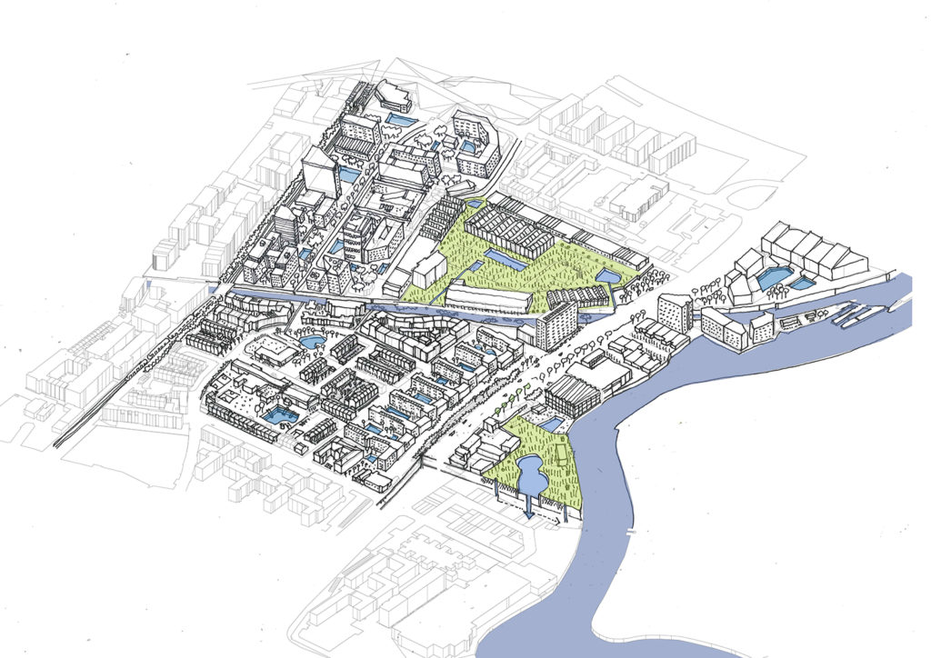
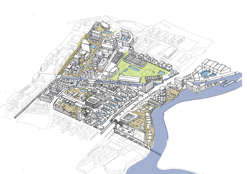
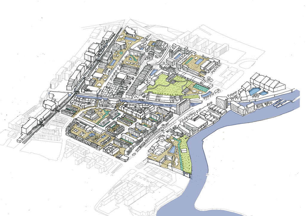
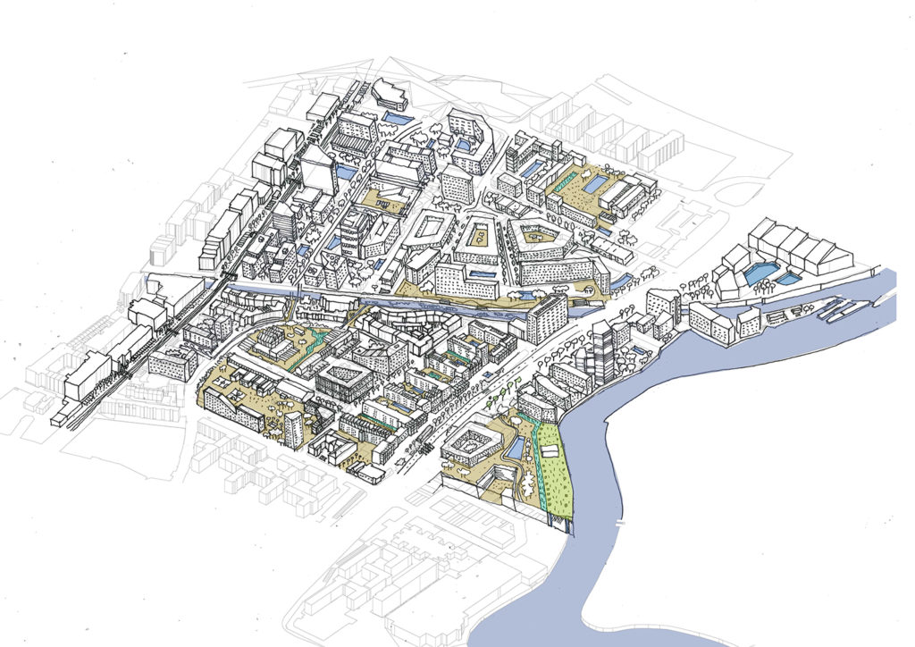
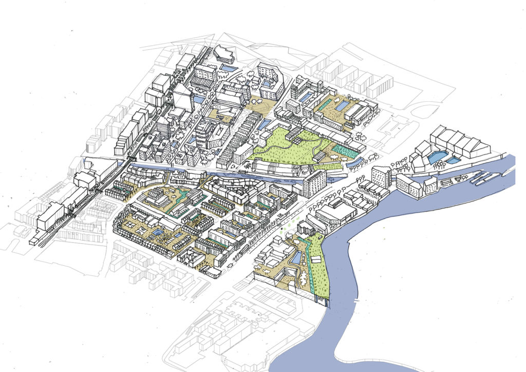
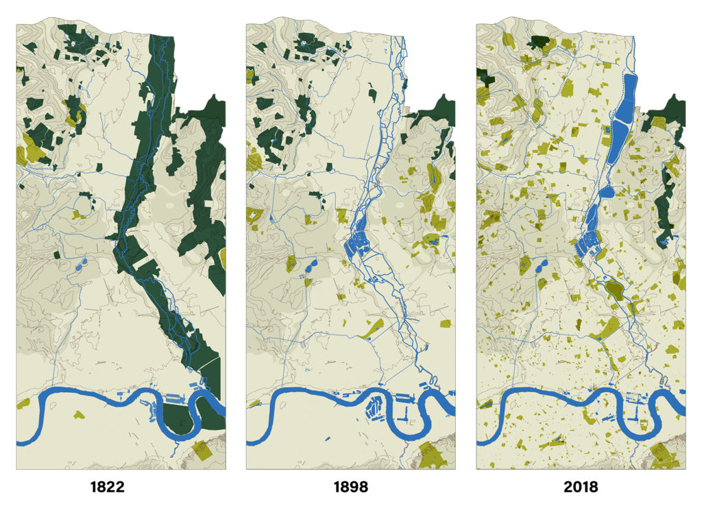
Analysis and proposal for the Lea river valley in London. The work developed as part of a research by design studio at TU Delft, in collaboration with Ricardo Avella, and guided by Birgit Hausleitner and Taneha Kuzniecow. The work consisted of two parts. The first one included a layered analysis of the urban development of London based on three historical moments: 1822, 1898 and the present day (2018). There were three layers analysed: infrastructure, occupation, and nature.
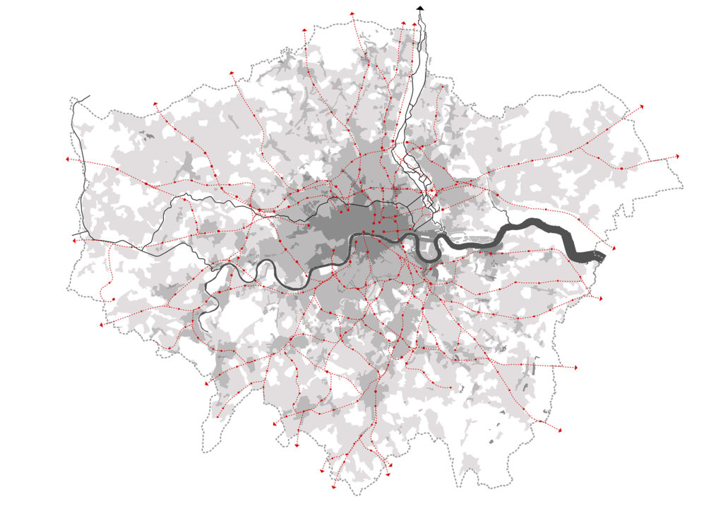
The layered analysis showed how the different aspects changed through time, and highlighted tipping points and interdependancies between them and with other historic events. Land occupation followed the construction of railways, which at the same time departed from docklands where raw materials arrived; power stations appeared initially close to the intersection between railways and waterways: during the 19th century, water infrastructure (reservoirs, embankments, sewage) was often implemented after cholera outbreaks; and so on. London spatial development has been tighly intertwinned with the territorial green and blue infrastructure management.
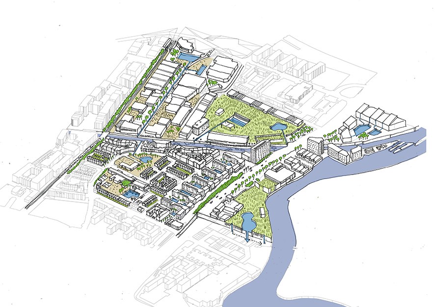
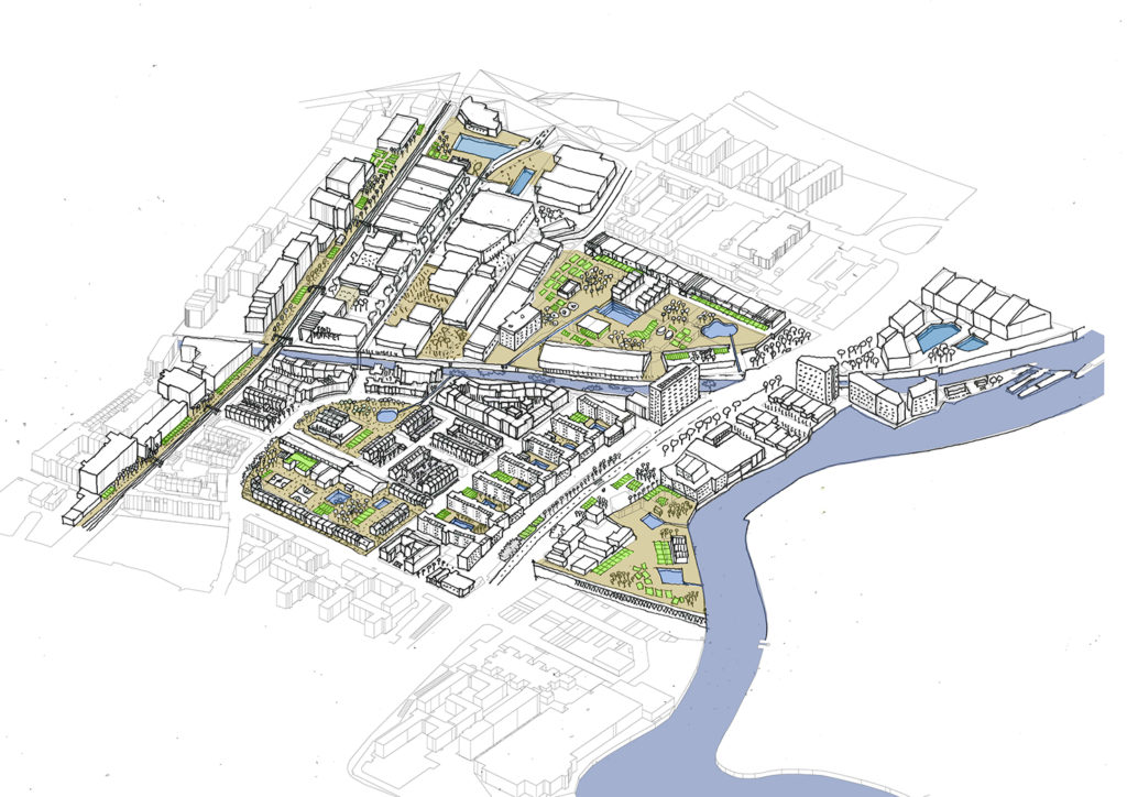
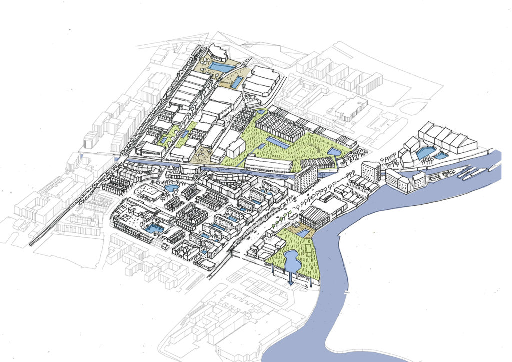
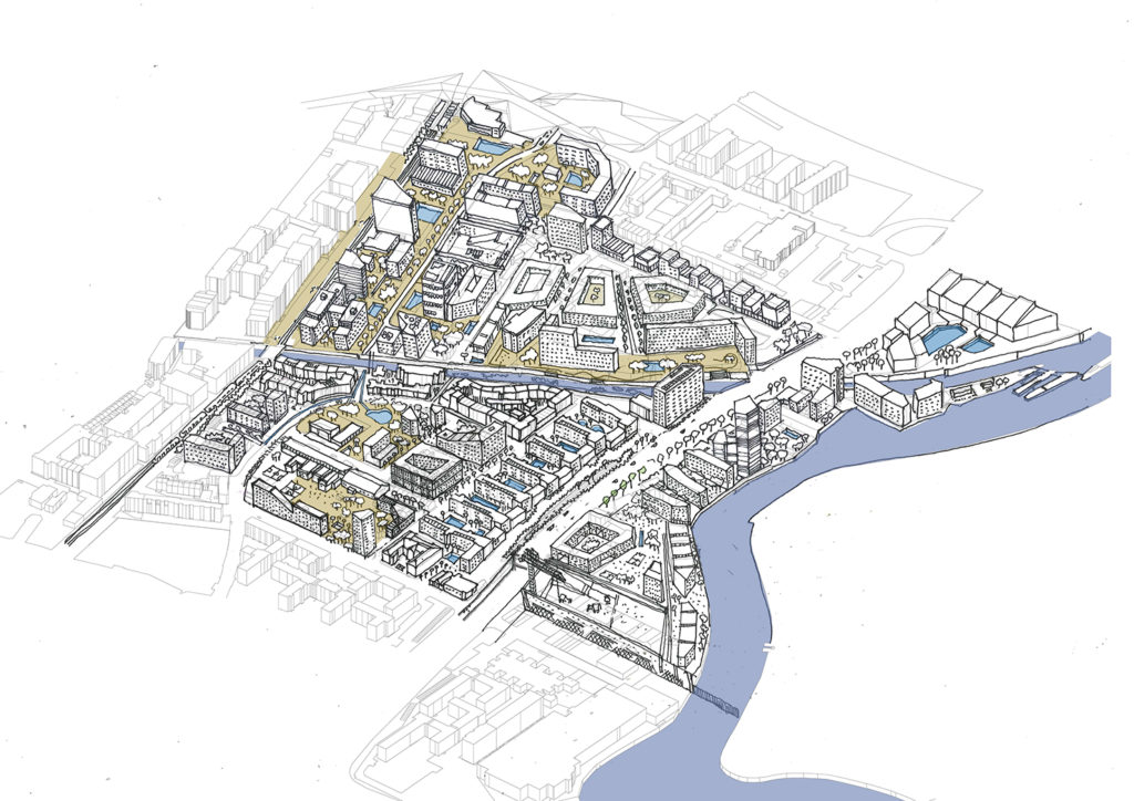
After the initial analysis, I developed a research by design process in the lower section of the Lea catchment area, close to Limehouse cut. The research by design process considered five types of intervention based on different approaches: water-based solutions, soil-remediation, housing developments, urban manufacturing, and urban agriculture. Different combinations of these approaches were studied, both analytically and spatially.
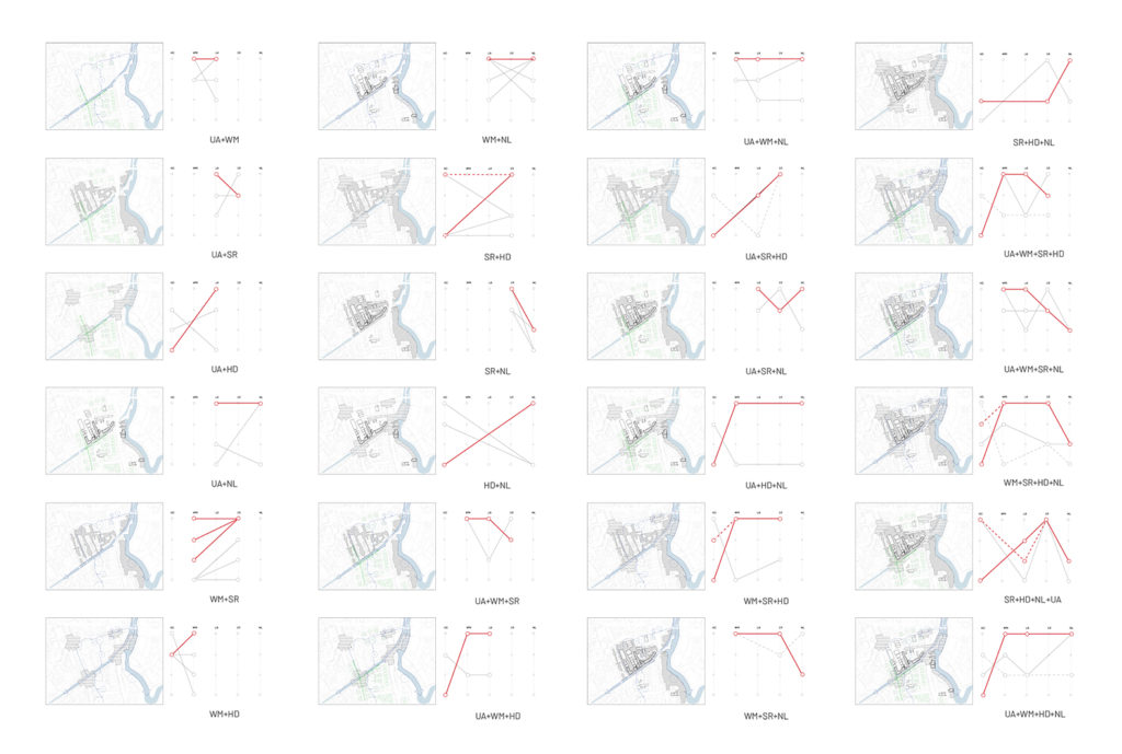
Nine potential futures were chosen to reflect upon, and to extract conclusions on the different impacts of each future.
To read the full report, including the work developed by Ricardo Avella, you can check the document below.
